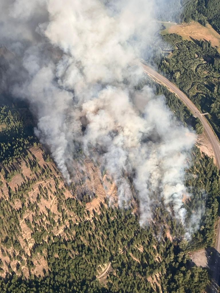
Fire forecasters predict a ‘busier’ summer in parts of West
Published 11:00 am Thursday, May 9, 2024
- Fire forecasters predict more wildfires this summer of parts of the West.
BOISE, Idaho — A higher risk of large wildfires is expected in parts of the West this summer due to unusually hot, dry conditions as well as buildups of fire fuels such as grasses and shrubs in some areas.
Below-normal precipitation is likely in the Northwest from May through this summer. The Intermountain West and Plains will have generally dry weather as summer arrives, according to the National Interagency Fire Center.
Above-normal temperatures are also likely in much of the Northwest, according to the National Weather Service and the fire center.
“We expect a busier summer than the last two, but not as busy as 2020 and 2021,” Jim Wallmann, U.S. Forest Service meteorologist at the fire center in Boise, said in an interview.
Fine fuels
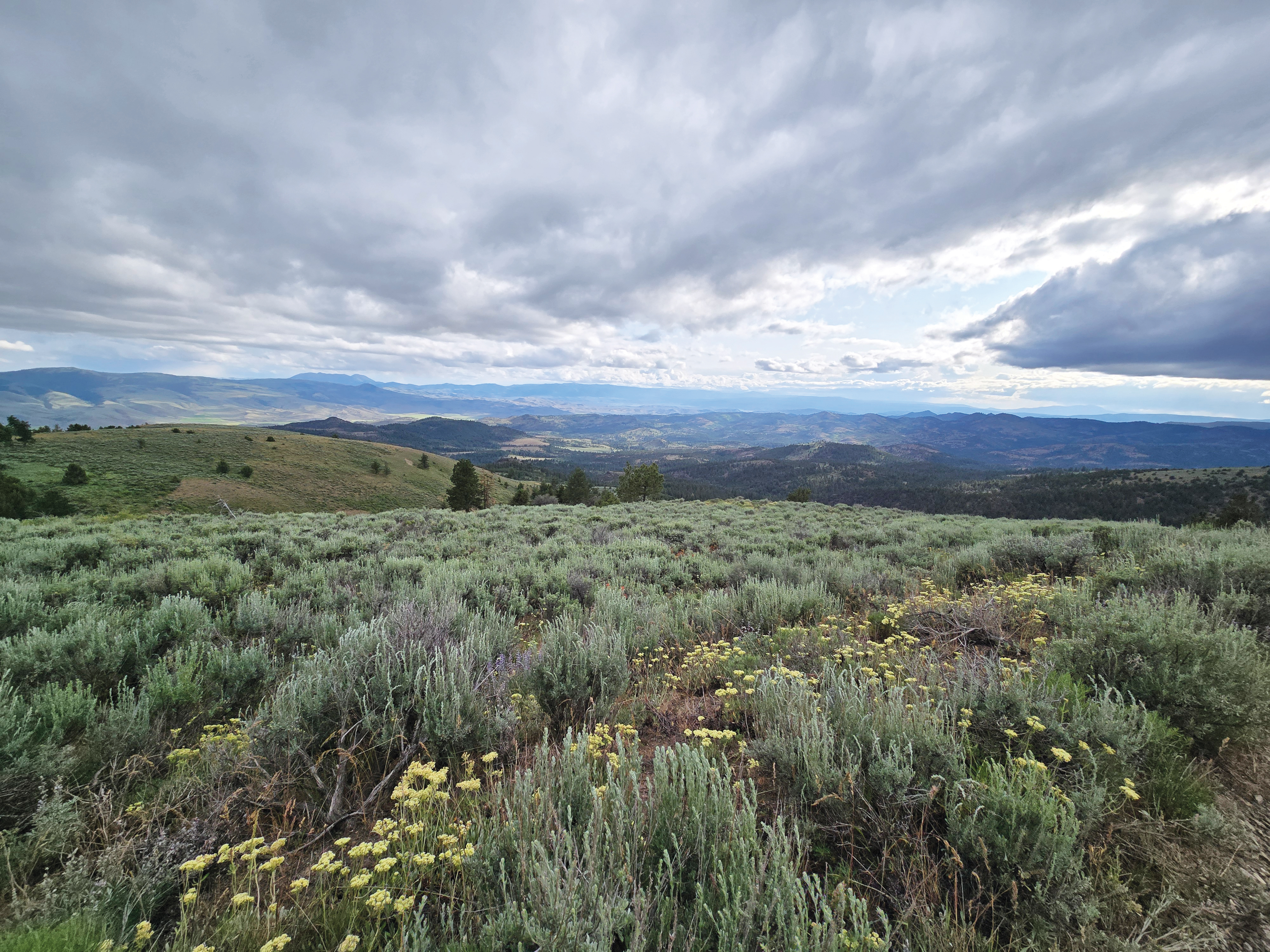
“Fine-fuel loading,” or a buildup of small-diameter vegetation such as grass, has been in the forefront for a couple of years and will remain a focus, said Steve Larrabee, Bureau of Indian Affairs fuel specialist.
Region outlooks
A larger load of fine fuels means nearly normal large fire potential for Southern California in August, according to the fire center. Excess precipitation in late winter and spring and a lack of significant fires last season contributed to the growth.
Fuel moisture is expected to remain above normal through July across the mountain ranges, including the central and southern Sierra Nevada. Above-normal fuel moisture is also probable coastal areas.
Northern California’s large-fire risk is expected to be normal for May and August, and generally below normal for June and July.
A higher risk of large fires could arrive as soon as the middle of June in parts of the Great Basin because of the buildup of fine fuels in northern and western Nevada, southern Idaho, northern Utah and eastern Utah. Many of these areas also have carryover grasses from 2023.
In the Northwest, an above-normal potential for large fires is expected in far southeastern and northeastern areas in July and August. The snow-water equivalent peaked early and has declined since.
Most basins in Washington, where state officials declared a drought emergency, had 50-65% of the median snow-water equivalent for late April. Values in southern Washington and northeastern Oregon mostly ranged from 70% to 85%. The rest of Oregon was around 90-97%.
May-August risk of large fires is normal in the northern Rockies, a prediction that takes into account existing drought and weak snowpack in the western area as well as expected near- to above-normal May-June precipitation.
Weather shift
An El Nino weather pattern brought more storms to the south, aiding grass growth in some areas. A transition to La Nina, associated with increased storm activity in the northern U.S., is becoming more likely over the summer, according to the fire center’s outlook.