Eye to the Sky: Changes to our cold temperature products this winter
Published 5:00 am Tuesday, February 4, 2025
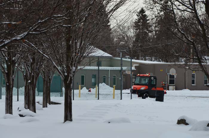
- A small plow clears the snow out of a parking lot near La Grande's Pioneer Park on Jan. 9, 2024. The National Weather Service for the winter of 2024-25 has renamed wind chill advisories or warnings as cold weather advisories and extreme cold warnings.
At least once per winter, the Columbia Basin experiences an outbreak of Arctic air that can bring temperatures in the area down into the teens, single digits, and even below zero. So far, we’ve had a pretty mild winter, but as anyone who lives around here can tell you, the weather can change on a dime, especially during the winter.
Trending
Whenever we expect unusually cold temperatures for the area, we issue advisories and warnings to give notice to the public when we expect temperatures to be so cold as to be dangerous. Historically, we’ve related the cold temperature threat to the wind chill, however, that will be changing this winter.
Typically, the mountains surrounding the Columbia Basin shield us from cold air outbreaks, as dense, cold air has difficulty traveling up mountainous terrain. However, whenever we get a particularly strong dip in the jet stream, cold air begins to seep into the region from aloft, leading to frigid temperatures. In the past, whenever extreme cold threatens the area, we issued either wind chill advisories or warnings.
In an effort to simplify our messaging to the public, however, these advisories will be renamed into cold weather advisories and extreme cold warnings. The impact will remain the same — headlines will be issued whenever temperatures are expected to be cold enough as to pose a threat to the public, but will now more broadly encompass cold temperatures rather than just the wind chill. Officially, the criteria for a cold weather advisory is temperatures below -10°F, while the criteria for an extreme cold warning is below -20°F.
Trending
The reasoning behind this change stems from the fact that extreme cold temperatures can pose adverse effects to the public even if the winds are calm, thus precluding wind chill as a direct threat. If the temperature in Pendleton is -10°F, a strong breeze will certainly make things feel worse, however, frostbite and frozen pipes are still more likely to occur even in the absence of wind. The messaging is also simpler – the public will read the advisories and know that the temperatures are about to become dangerously cold, and not try to relate the threat directly to a combination of gusty winds and low temperatures. Keep in mind, however, that wind does still have a magnifying effect on cold temperatures. Frostbite can occur more quickly when it is -10°F with 20 mph wind gusts than the same temperature with calm winds.
We do not expect these headlines to become the norm each and every winter, as some of these criteria flirt dangerously close to daily record lows in some areas. But again, cold air outbreaks are not common across the Basin thanks to us being surrounded by large mountain ranges. Regardless of the change in language, the precautions taken against extreme cold should remain the same: always bundle up when subzero temperatures are expected, and take steps to prevent pipes from being frozen during prolonged periods of extreme cold.
For further information on Wireless Emergency Alerts, go to www.weather.gov/wrn/wea or shorturl.at/bDdDM.


-
eEdition

-

-
