Local
Fire burning north of Wallowa grows to 40 acres
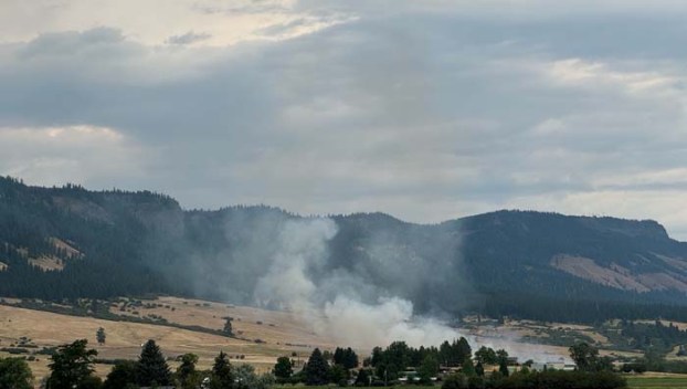
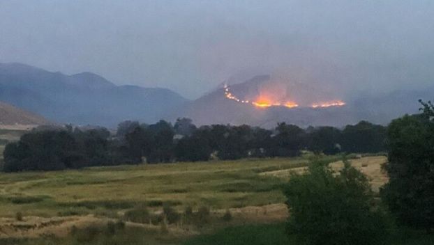
WALLOWA — A 40-acre wildfire is burning north of Wallowa, prompting the closure of Promise Road from the ...
WALLOWA — A 40-acre wildfire is burning north of Wallowa, prompting the closure of Promise Road from the ...

LA GRANDE — Nick Vora, Union County’s emergency manager, knows that every fire season is different: This year, ...
LA GRANDE — The Union County Board of Commissioners voted unanimously Monday, July 22, to immediately implement a ...
Update, 8:15 a.m.: Interstate 84 and Oregon Highway 201 North now are open in Eastern Oregon, the Oregon ...

A statewide “wildfire risk map” that drew the ire of many Oregonians will return in several weeks with ...

BOISE, Idaho — A higher risk of large wildfires is expected in parts of the West this summer ...
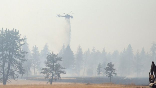
ELGIN — The Jones Butte Fire was 50% contained and all evacuation levels were been lifted as of ...
ELGIN — The Jones Butte Fire is 20% contained as of 6 p.m. Friday, July 29, according to ...

ELGIN — Interagency cooperation and coordination contributed to the swift response to the Jones Butte Fire on Thursday, ...

HERMISTON — What started as a response to douse a grass fire Tuesday, June 13, near Hat Rock ...